SeaChart
← Back to community

Add High-Resolution Satellite Imagery by Country

In Progress
P Pro
Add High-Resolution Satellite Imagery by Country Integrate high-resolution satellite or aerial imagery using different data sources based on country or region.
+
P 5 replies 1379 views

Discussion

P Pro
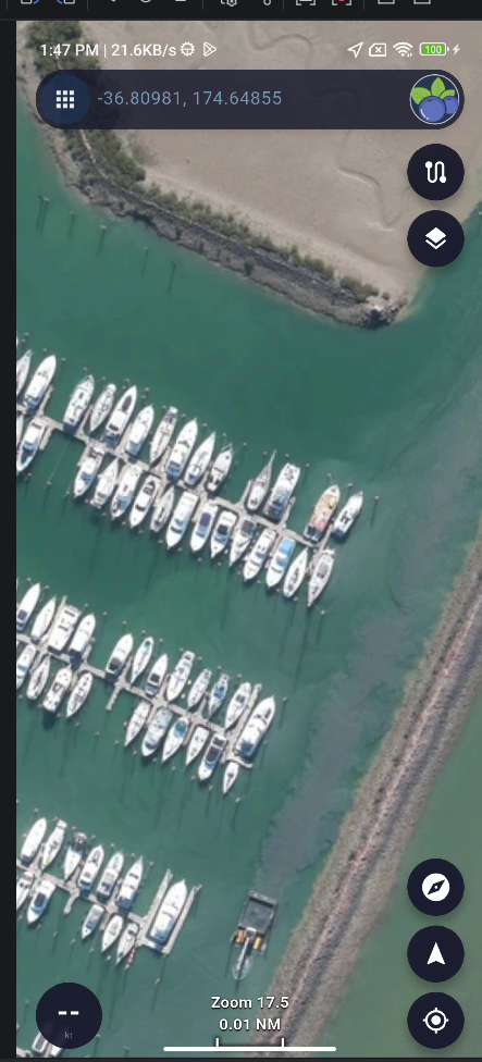
NZ Datasource - LINZ
Photos & videos
+
P Pro
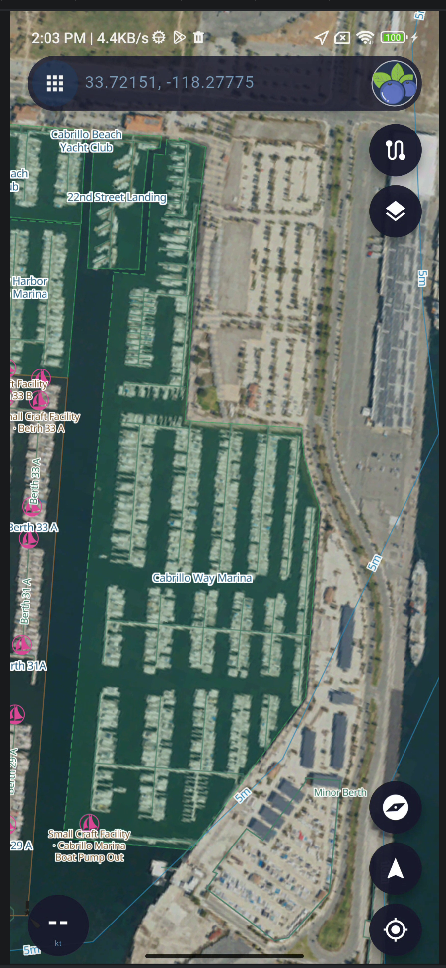
USA Datasource - naip
Photos & videos
+
P Pro
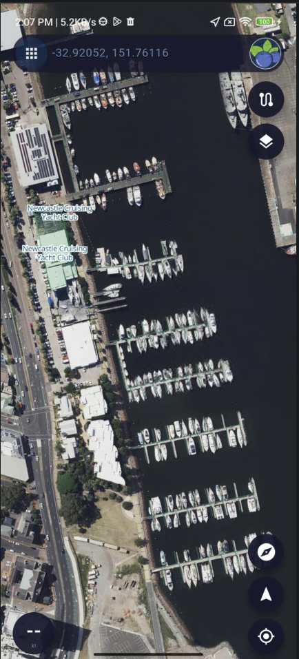
New South Wales,NSW, AU Datasource - NSW Imagery
Photos & videos
+
P Pro
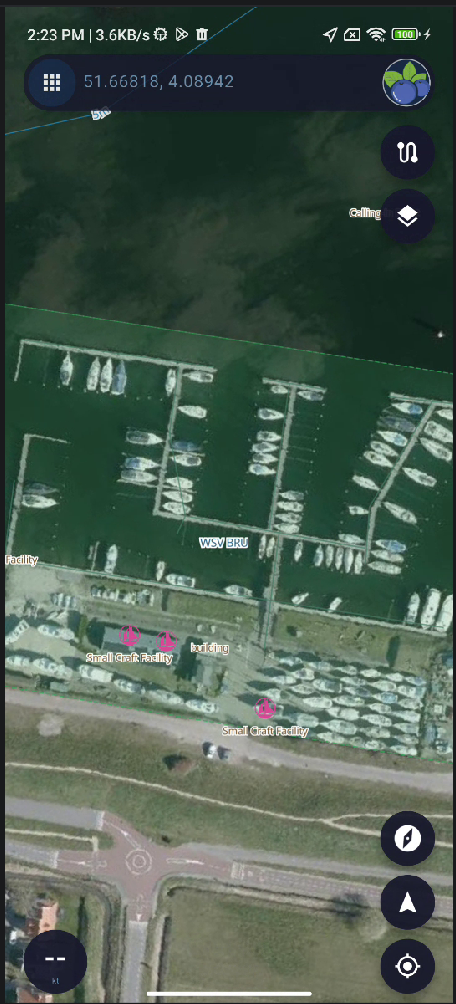
Netherlands Datasource - PDOK Luchtfoto RGB(Open)
Photos & videos
+
P Pro
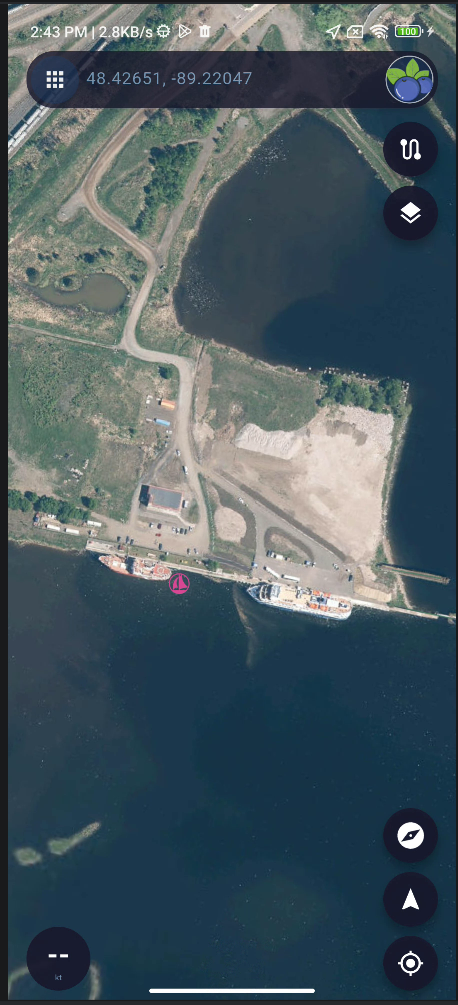
Canada Ontario Datasource - Geospatial Ontario Imagery
Photos & videos
+

Reply

Sign in