Released H Hassanein Makhlouf2026-09-08 09:04 UTC Layer selection SeaChart does not persist displayed selection I deselected AIS and nots, but they are automatically selected at startup Not a big issue for me, just information for you Have a lovely day + ↳ Reply 1 31 views
Released p pine2026-09-08 07:03 UTC Nickname / Icon can be modified Nickname / Icon can be modified + ↳ Reply 2 33 views
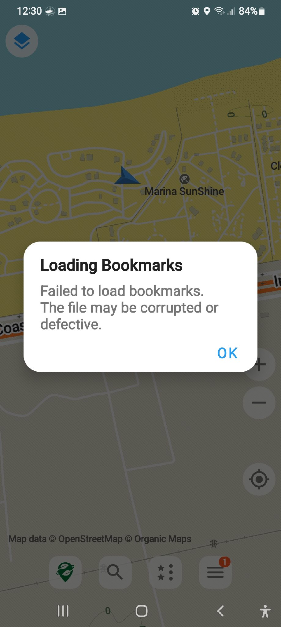
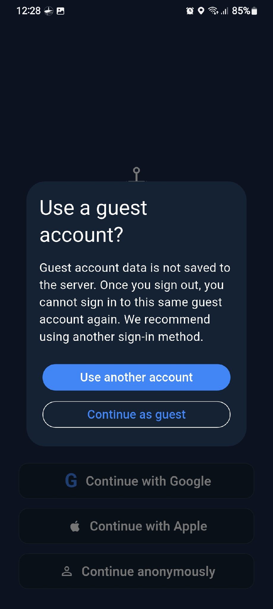
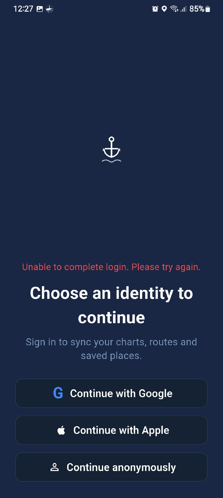
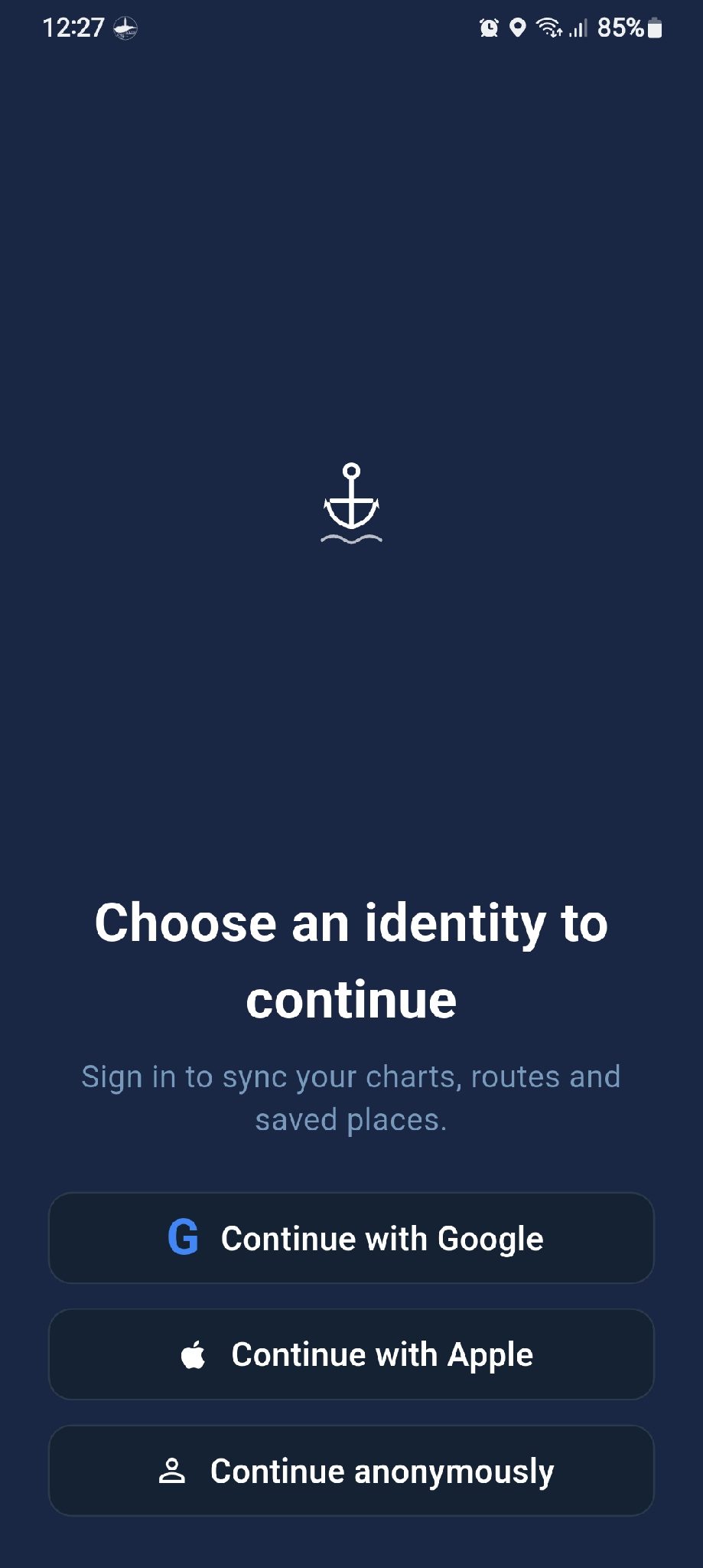
Released H Hassanein Makhlouf2026-09-04 09:40 UTC kml / gpx error I exported kml and gpx to test Tried to import back, gives import error. no explanation tried to open with seachar fro file manager, seachart starts but asks to login, and login fails ( see attached) tried to open with organic maps, failed with error file is corrupt or malformed (see attached) sorry for being such a nag + ↳ Reply 6 54 views
Released H Hassanein Makhlouf2026-09-04 15:46 UTC Request unit selection please add ability to select units for wind speed, distance, temperature, boat speed...etc Thanks in advance + ↳ Reply 6 50 views
Released H Hassanein Makhlouf2026-08-29 20:40 UTC Feature request: Import or use third party maps The ability to import or overlay/underlay third party maps with transparency control. Satellite maps Sea Marker maps etc. + ↳ Reply 10 39 views
Released H Hassanein Makhlouf2026-09-02 08:18 UTC Strange behaviour If I'm browsing a saved location (not current location) and I press either my location or heading orientation, the map jumps to my current location at a zoom level 17, and the +/- buttons do not work, you have to pinch them screen to change zoom level zoom level 17 is far to much, and I find myself looking at location marker in the middle of empty screen For me zoom level 12 is fine, may not work for others. Is there a way to set a default zoom level or at least keep the previous zoom level when changing? + ↳ Reply 5 34 views
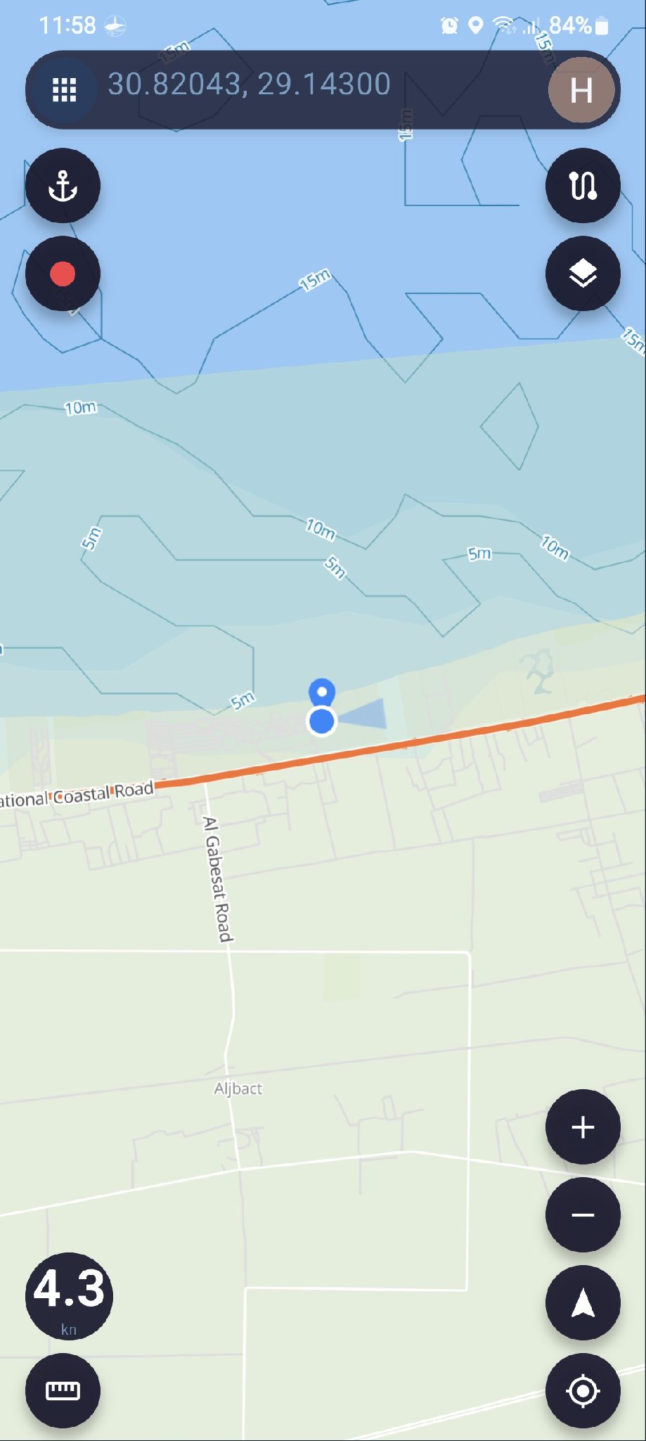
Released H Hassanein Makhlouf2026-09-07 09:03 UTC Speed When the phone is stationary, the speed meter still shows it is moving, and the reading keeps changing Thanks and have a great day + ↳ Reply 2 40 views
Released H Hassanein Makhlouf2026-09-01 11:55 UTC Forum organisation Currently the forum is one long page, and is getting longer every day which makes hard to find relevant posts My feeling is that it would be easier and better to devide the forum into section Announcement where you post updates and new features etc. Installation and use Bug reports Requests ... etc. Also if the forum is searchable, would make it easier similar topics and avoid duplication If the forum is made accessible on the website from computer that would be great Thank you for your patience Have a lovely day + ↳ Reply 8 40 views
Released p pine2026-09-05 23:34 UTC Support Folders for Routes Add folder support for saved routes so users can better organize and manage a large number of routes. Proposed Features Allow users to create, rename, and delete folders. Allow routes to be moved between folders. Allow users to create routes directly inside a selected folder. Keep route folders compatible with route import/export where possible. Goal Make route management easier for users who have many saved routes, especially when routes are organized by location, trip, fishing area, or purpose. + ↳ Reply 1 31 views
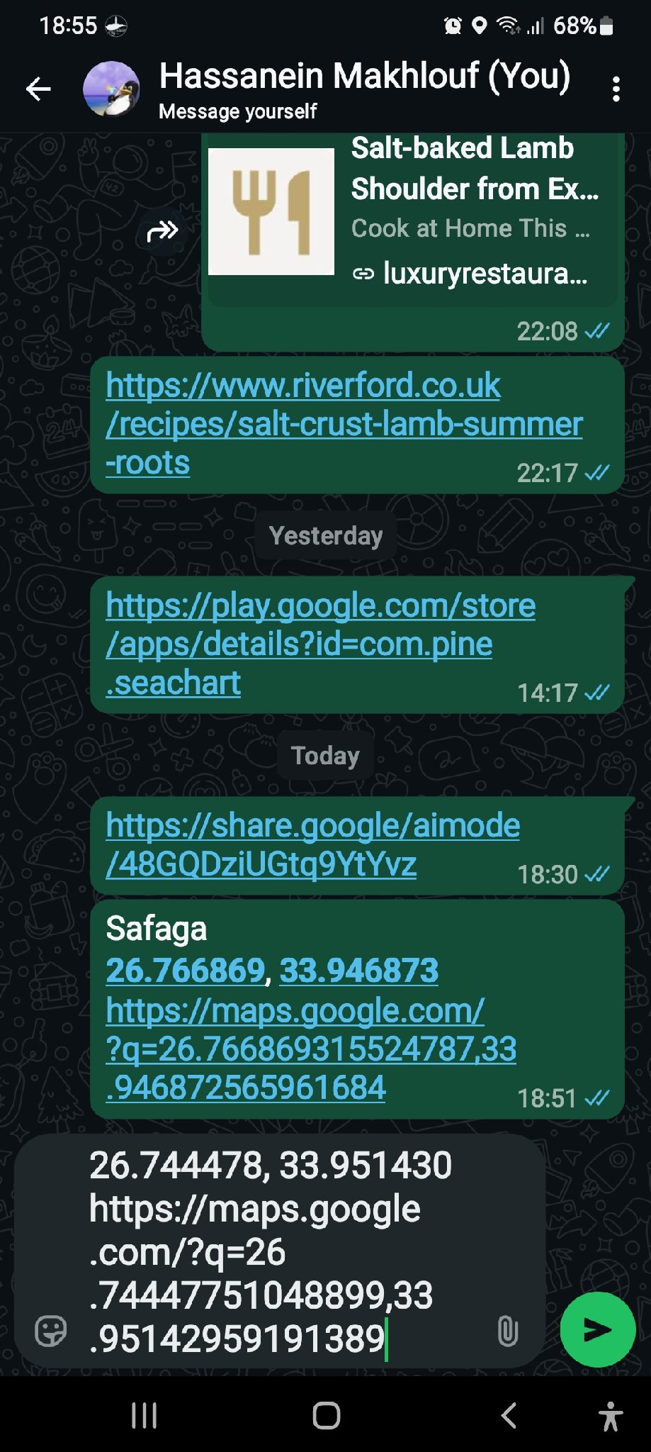
Released H Hassanein Makhlouf2026-09-02 16:04 UTC Sharing locations The easiest way to share locations is to select share from location info at the bottom and paste or share on WhatsApp Problem: link is formatted as Google maps format and clicking that link opens in g maps with no other choice. copying the link and paste in seachart search doesn't work, seachart can not decifer g map format even if you force open with... seachart is no available as choice can anything be done to register seachart as a navigation app and can it decifer g map formatted link Thanks in advance + ↳ Reply 6 49 views
Normal Question H Hassanein Makhlouf2026-09-04 15:40 UTC Question about map details There is an item in map details "Report" What does that show? Thanks in advance + ↳ Reply 4 43 views
Released p pine2026-09-02 06:49 UTC Fishing Moments – User Cases 1. Browse Posts Users can enter Fishing Moments to browse content shared by other users. Each post may include: User avatar Username Publish time Images Videos Text content Location, if the user chooses to share it Number of likes Number of comments Users can scroll down to browse more posts. 2. Publish a Post Users can publish their own fishing-related posts. A post may include: Images Multiple images Videos Text Location Users may publish an image by itself or add text to describe the post. 3. Add a Location When publishing a post, users can choose whether to include location information. Location is optional. Users can choose to: Hide the location Share an approximate location Share the exact location Users who do not want to reveal their fishing spot can choose to keep the location hidden. 4. View Images and Videos Users can tap an image in a post to view it in full screen. If a post contains multiple images, users can swipe left or right to browse them. Videos can be played directly from the post. 5. Like a Post Users can like posts they enjoy. Tapping the Like button again will remove the like. The current number of likes will be displayed on the post. 6. Comment on a Post Users can leave comments on other users' posts. Users can also reply to other comments. Users can delete comments they have posted themselves. 7. View User Profiles Users can tap another user's avatar or username to open their profile. A user profile may display: User avatar Username Profile description Public Fishing Moments posted by that user 8. Save a Post Users can save posts they are interested in. Saved posts can be viewed later from the user's saved-content page. Saved posts are private and are only visible to the user who saved them. 9. Share a Post Users can share Fishing Moments using the device's standard sharing options. For example: WhatsApp Messenger Facebook Other supported apps Users may also copy a link to the post and share it elsewhere. 10. Edit Your Own Posts Users can edit posts they have already published. Editable content may include: Text Images Videos Location Location privacy settings 11. Delete Your Own Posts Users can delete Fishing Moments they have published. Once deleted, the post will no longer be visible to other users. 12. Report Content Users can report inappropriate or problematic content. Report categories may include: Spam Offensive Content Inappropriate Content Copyright Other Reported content will be submitted to the administrator for review. 13. View Latest Posts Users can browse Fishing Moments by publish time. Recently published posts will appear first. 14. View Nearby Posts If users allow location access, they can browse nearby Fishing Moments that include publicly shared location information. The system will only use the location information that the post author has chosen to make public. Posts with hidden locations will not expose the user's actual fishing spot. 15. Browse Posts on a Map Users can browse Fishing Moments with shared location information on a map. Posts with public location information may appear as markers on the map. Tapping a marker can display: Images User information Post content If the user chooses to hide the location, the post will not reveal the exact fishing spot. Privacy Fishing spots can be sensitive information. Fishing Moments will not require users to publicly share their exact fishing location. When publishing a post, users can choose whether their location is: Hidden Approximate Exact Users remain in control of how much location information they choose to share. + ↳ Reply 5 36 views
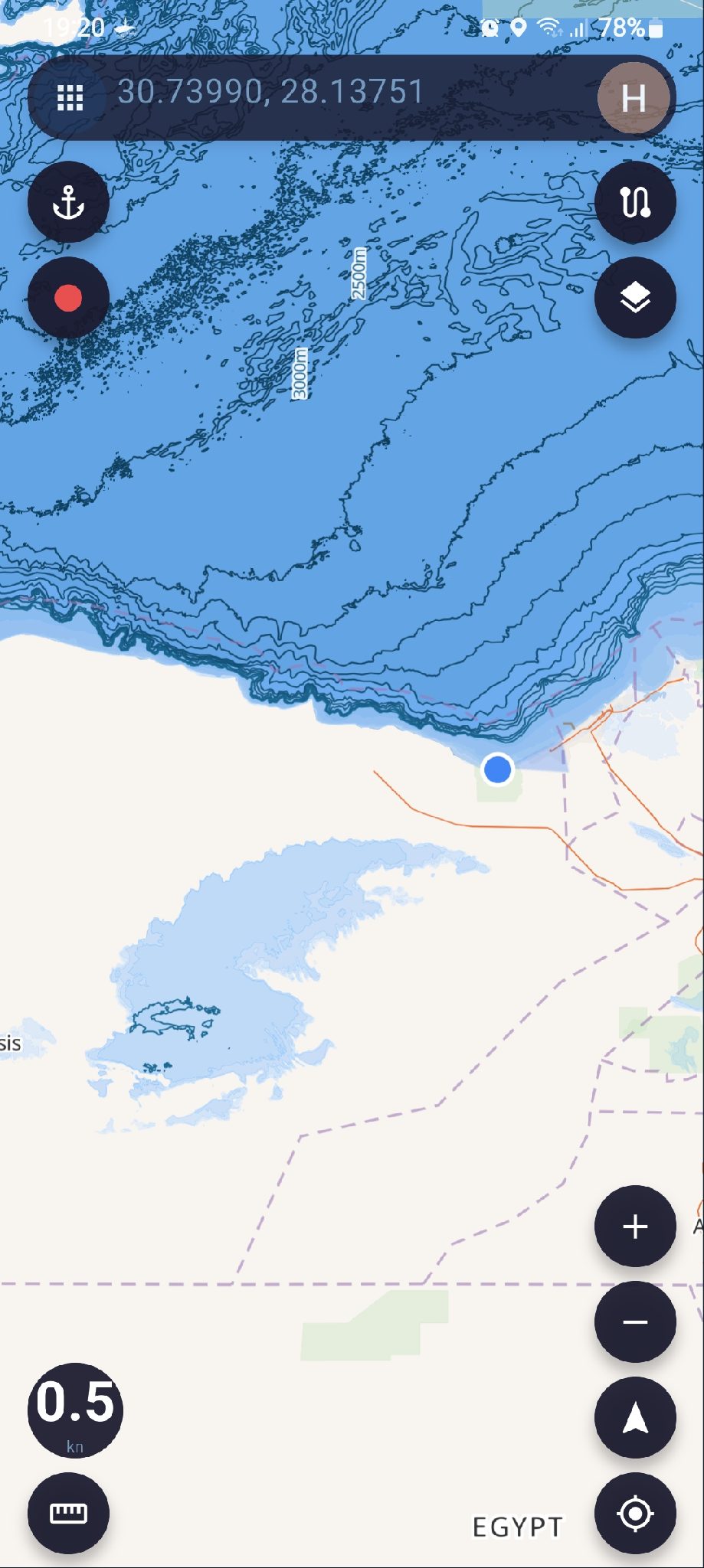
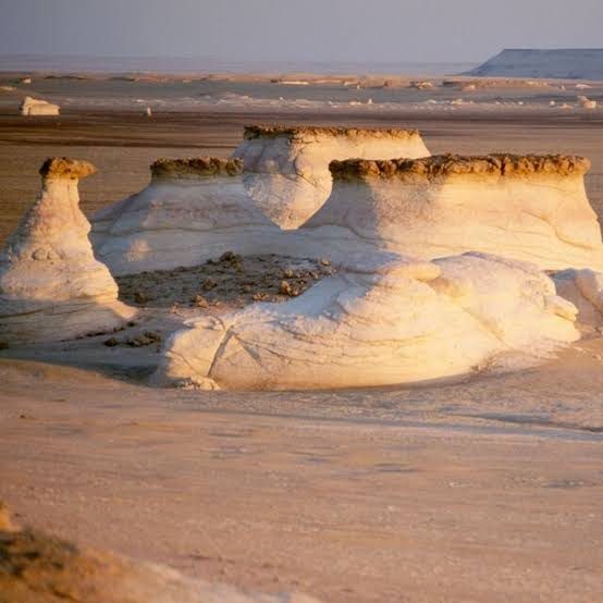
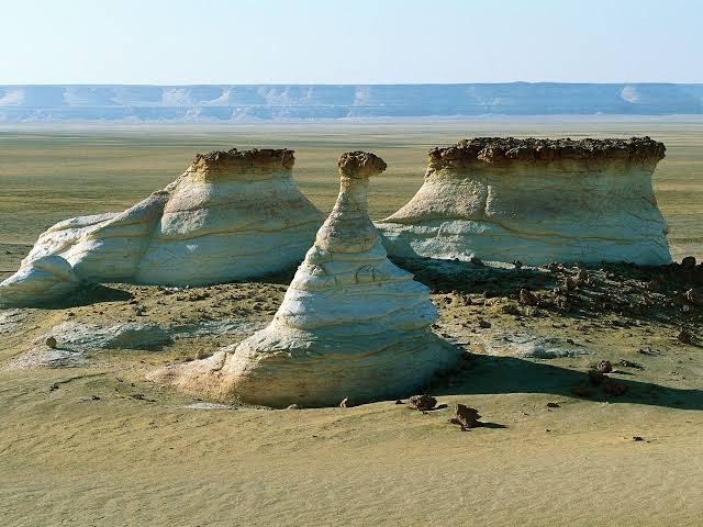
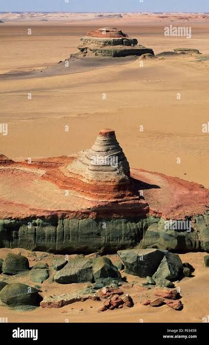
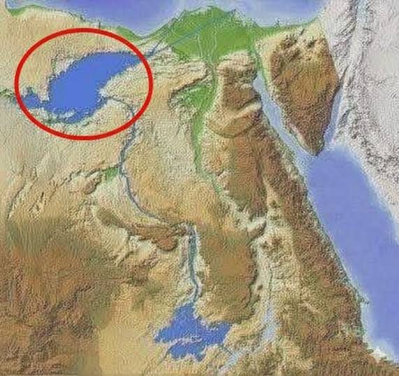
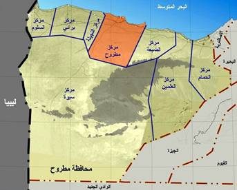
Normal Question H Hassanein Makhlouf2026-09-05 16:40 UTC Egypt map anomaly Egypt map is showing the Qattara depression as a water mas the depression is in Egypts Western desert, it is about 20000 square km, and goes down to 135 metres below sea level It is a beautiful place, very popular with desert lovers but it is not water ;) This is your useless information for the day ;) All the best + ↳ Reply 2 39 views
Normal Question H Hassanein Makhlouf2026-09-03 15:17 UTC Navigation questions When I have a saved location and tap it opens the bottom panel, if I tap navigate, it creates a navigation line. Does it take in account depth, obstacles, weather conditions...etc or is it just a straight line? Thanks in advance all the best + ↳ Reply 5 51 views
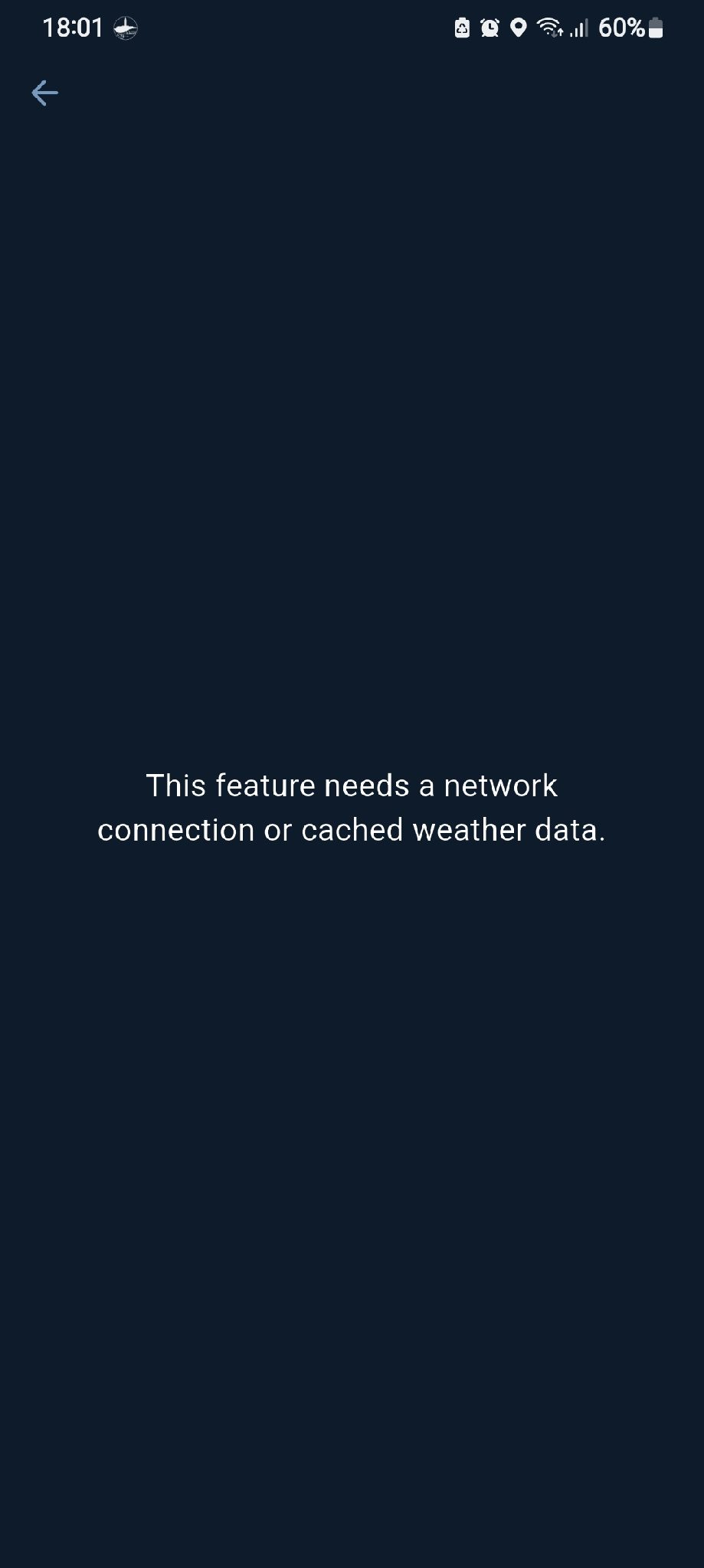
Released H Hassanein Makhlouf2026-09-03 15:11 UTC Boating score When trying to see boating score, I get a message " this feature needs Internet connection or cached weather data" I don't have cached weather but I have WiFi and data the app doesn't recognise that + ↳ Reply 1 37 views
Released S Sabir Hossein2026-07-13 16:51 UTC couture line and navigation aid update good day admin I would like to say dept colour change like 5 mter/10 metter/20/30 mitter and navigation aid, navigation hazard input and Ais input that's this app become super + ↳ Reply 7 31 views
In Progress p pine2026-07-09 08:35 UTC Add High-Resolution Bathymetry Data Sources by Region We need to add and evaluate additional regional bathymetry data sources to improve depth chart quality in supported areas. These datasets should be used to replace or enhance the current lower-resolution sources where suitable, especially in regions where better official or open bathymetry data is available. United States Canada United Kingdom France and French overseas territories Ireland Denmark Netherlands Finland New Zealand + ↳ Reply 4 38 views
Released H Hassanein Makhlouf2026-08-30 14:54 UTC Thoughts on weather forecast It is my understanding is that weather data are downloaded to the device, and that the data is static until the next update my concern is that static weather data can become obsolete very quickly and becomes unreliable for planning several days ahead. My feeling is that it would be much better to have live real time data there are many weather services ( national, international, NGOs, scientific institutions) that provide free APIs You can use these to provide more reliable weather data from online sources For the times that the user is going to be completely offline, the option to download and cache local data may be useful If this is not feasible, I personally would not use the cached data in favour of using a dedicated reliable weather forecast app Thank you for your patience Have a lovely day + ↳ Reply 13 42 views
Released H Hassanein Makhlouf2026-08-29 20:28 UTC Feature request zoom buttons Thank you for an excellent app I'm coming from Osmand and I miss some features. I'm going to post each request separately as you request 1- Add zoom buttons to the main screen (+ and -) Thanks in advance + ↳ Reply 7 32 views

 SEA CHART /Community