SeaChart
In Progress
P Pro
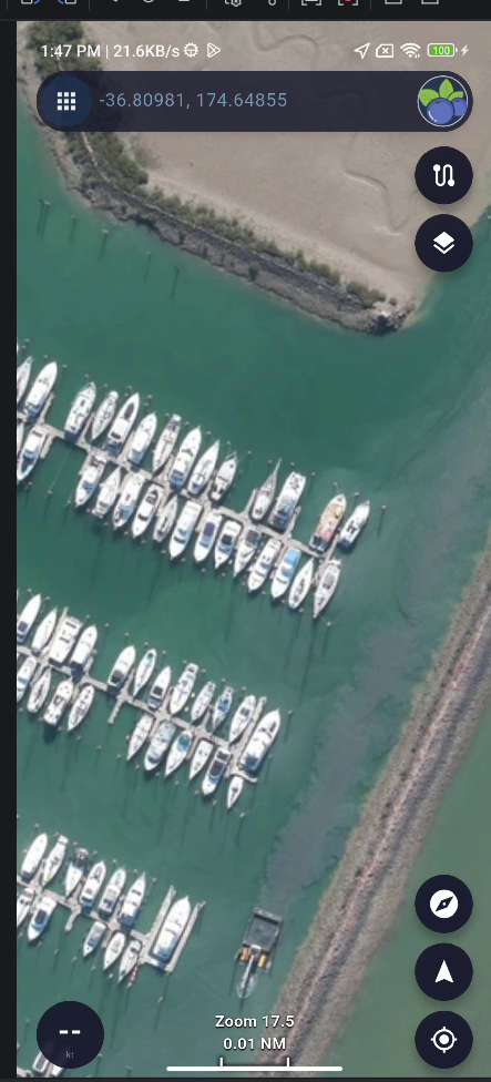
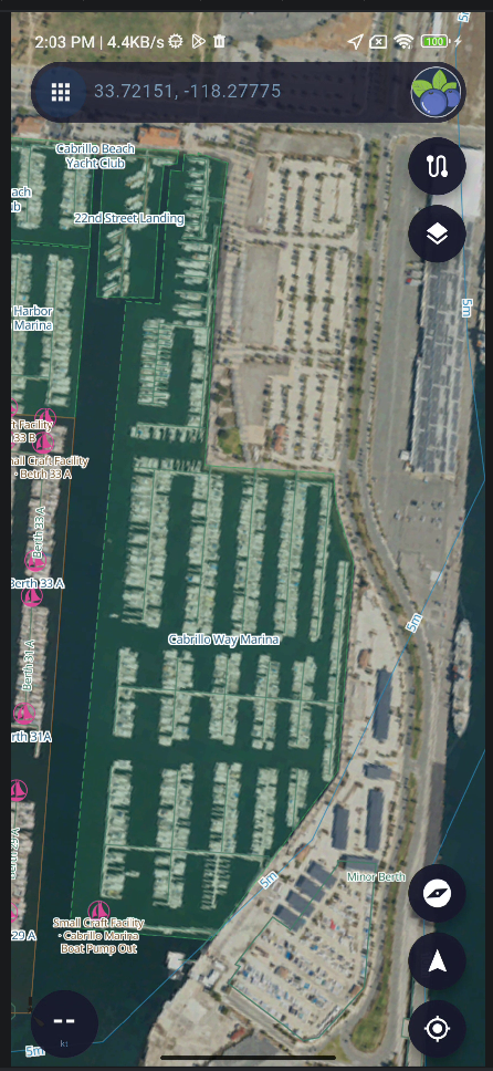
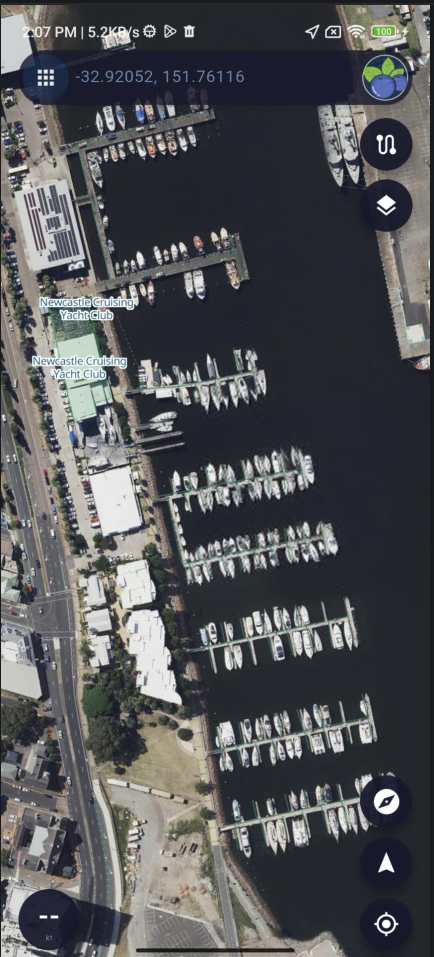
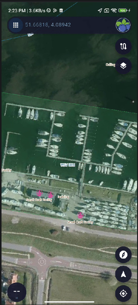
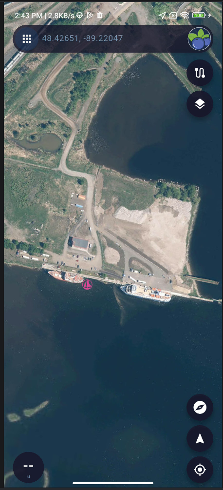
Add High-Resolution Satellite Imagery by Country
Integrate high-resolution satellite or aerial imagery using different data sources based on country or region.