SeaChart
← Zurück zur Community
In Progress
P Pro
Add High-Resolution Satellite Imagery by Country Integrate high-resolution satellite or aerial imagery using different data sources based on country or region.
+
P 5 Antworten 674 Aufrufe

Diskussion

P Pro
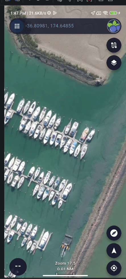
NZ Datasource - LINZ
Fotos und Videos
+
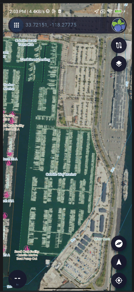
P Pro
USA Datasource - naip
Fotos und Videos
+
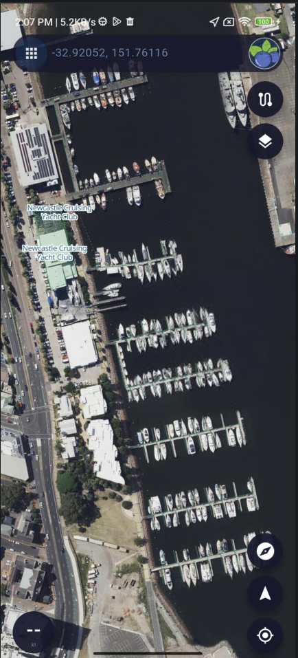
P Pro
New South Wales,NSW, AU Datasource - NSW Imagery
Fotos und Videos
+
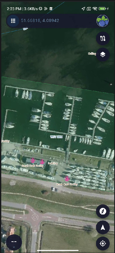
P Pro
Netherlands Datasource - PDOK Luchtfoto RGB(Open)
Fotos und Videos
+
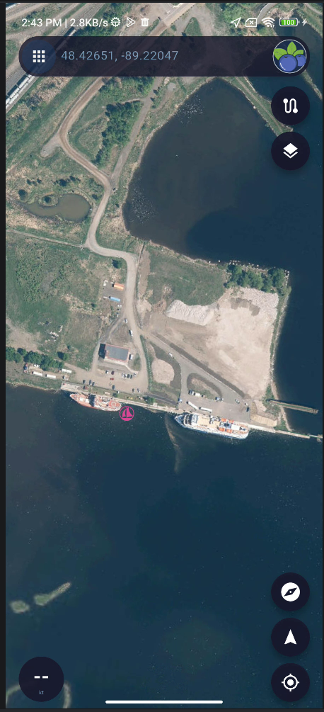
P Pro
Canada Ontario Datasource - Geospatial Ontario Imagery
Fotos und Videos
+

Antworten

Anmelden