Pinned p pine2026-09-20 01:51 UTC 5 Month Update — Thank You for Your Continued Support Another month has passed, and SeaChart has now been available for approximately five months. This month has actually been a very active development period. In addition to ongoing maintenance and bug fixes, I have implemented a number of new features and improvements based on real user feedback. I would especially like to thank **Hassanein Makhlouf**, who has spent a considerable amount of time testing the app and providing many thoughtful and practical suggestions. A number of his suggestions have already influenced recent improvements, and several others are now part of the future development plan. For an independent project like SeaChart, this kind of detailed feedback is extremely valuable. It helps me understand how the app is actually being used in the real world and often highlights usability issues or ideas that are difficult to discover through development and testing alone. Alongside these new features and improvements, I am currently focusing most of my development time on two high-priority tasks. The first is the iOS release. Unfortunately, the iOS version is still going through the Apple review and compliance process. I am continuing to work through the issues raised by Apple, but at this point I honestly do not know how much longer the process will take. One of the difficulties is that each new submission or response generally takes around **3–4 days** before I receive another review result. If Apple raises another issue, I need to make the necessary changes, submit another build, and wait again. I will continue working on it until the iOS version is approved, but unfortunately the timing is largely outside of my control. The second major priority is improving the depth chart system. I have been working on processing, cutting, optimizing, and distributing much higher-quality depth data so that it can eventually be used efficiently inside the app. The **New Zealand dataset is now largely completed**. My next planned areas are the **Mediterranean Sea and the Red Sea**. These are much larger datasets and require significant processing and preparation, so I currently expect this stage of the work may take around one month. During the past few months, I have also purchased several real AIS devices for testing. Unfortunately, international shipping is taking longer than expected, so some of the equipment has still not arrived. Once everything arrives, I will continue expanding real-world AIS testing and improving the reliability of AIS-related features. As the project continues to grow, so does the cost of maintaining and developing it. My total personal investment in SeaChart has now reached approximately **NZD 70,000**. This includes chart and geographic data processing, servers, storage, development hardware, Apple hardware, AIS equipment, software services, testing equipment, and many other ongoing expenses. There has also finally been some good news regarding donations. Since the previous update, I have received **three NZD 9.90 donations from two users**. These are the first donations the project has received, and I genuinely appreciate them. Thank you very much to both users who chose to support SeaChart. Regarding donations on iOS, I currently do **not** plan to enable a donation option through Apple's in-app purchase system. The reason is simply that the economics do not make much sense for a small independent developer. For a small donation, after GST, Apple's commission, income tax, ACC-related costs, and other applicable expenses, the amount that ultimately reaches the developer can be less than half of what the user originally paid. For example, if someone intends to support the project with approximately NZD 10, the amount that actually contributes to development can end up being surprisingly small. Because of this, I do not currently feel comfortable encouraging users to donate through a system where such a large proportion of a small contribution is lost along the way. Donations will always remain completely optional. SeaChart is not being developed with the expectation that users must donate, and nobody should feel pressured to contribute financially. Simply using the app, reporting bugs, suggesting improvements, testing new features, leaving a genuine review, or recommending SeaChart to another person is already extremely helpful. For the immediate future, my two highest-priority tasks are therefore: 1. Continue working through Apple's compliance and review process until the iOS version is approved. 2. Continue building the new depth-data processing and distribution system, with New Zealand largely completed and the Mediterranean and Red Sea planned next. At the same time, development of other features has not stopped. I will continue implementing useful improvements where possible, especially when they come from clear and practical user feedback. I still read all feedback and feature requests carefully. I cannot promise that every request will be implemented immediately, but good suggestions are absolutely being considered and many of them are already influencing the direction of the app. Thank you again to everyone who continues to use SeaChart, report problems, suggest improvements, test new versions, leave reviews, and support the project. A special thank you again to **Hassanein Makhlouf** for the many constructive suggestions and detailed feedback, and to the two users who made the first three donations to the project. Five months in, SeaChart is still a very young project, and there is a huge amount of work ahead. I will continue doing everything I can to make it more accurate, more reliable, and more useful for everyone. + ↳ Reply 4 76 views
Pinned p pine2026-06-27 20:31 UTC 【High priority】 IOS device version IOS version migration + ↳ Reply 9 112 views
In Progress p pine2026-10-03 21:06 UTC Domain Rebranding Migration logics from marine.aitinytools.com -> seachart.app + ↳ Reply 0 47 views
Closed p pine2026-08-25 07:26 UTC 4 Month Update — Thank You for Your Support Another month has passed, and the app has now been available for approximately four months. During this update cycle, I have focused on a single major Android release, mainly improving and optimizing AIS-related features. This update is nearly ready and will be released soon. To properly test these features, I have also made a significant investment in purchasing real AIS equipment. Although I still do not own a boat, I am doing everything I can to create a realistic testing environment and ensure that the AIS functionality works reliably in real-world conditions. I expect to complete this round of AIS testing by mid-September. At the same time, I am urgently working on the development and release of the iOS version of the app. As much of my available development time is currently going into bringing the app to iPhone and iPad users, Android updates and responses to some feature requests may be slightly slower than usual during this period. However, Android development and maintenance are continuing, and I remain committed to supporting and improving both versions. Developing and maintaining this app requires a significant amount of time and ongoing expenditure on chart data, servers, development equipment, AIS testing devices, Apple development hardware, testing, and other related services. So far, the total amount I have personally invested in the project has exceeded NZD 45,000. The donation feature has now been available for some time, but the total amount received in donations remains NZD 0. Donations are, of course, completely optional. There are currently no mandatory paid features in the app, and I do not want anyone to feel pressured by this announcement. Simply using the app, providing useful feedback, and seeing it improve over time is already a form of support. However, I have noticed that the app occasionally receives low ratings on Google Play without any explanation or feedback. For an independently developed app with a relatively small user base, every rating has a significant impact on its overall score. A low rating without an explanation may discourage many potential users from even giving the app a try. Therefore, if you are satisfied with the app and feel that it has been useful to you, I would sincerely appreciate it if you could take a few seconds to leave a five-star review on Google Play. For you, it may only be a quick tap. But for a small app that is independently developed and continuously maintained, your review can greatly improve its visibility. More importantly, it lets me know that the considerable time, effort, and resources invested in this project are being noticed and appreciated. If you experience any problems, please consider reporting them through the app before leaving a low rating. Most issues can be investigated and resolved through communication and future updates, and I would truly appreciate the opportunity to understand and fix the problem. When submitting feature requests, please create a separate post for each request. This makes it much easier for me to track, manage, respond to, and follow up on every suggestion. I cannot promise that every request will be completed immediately, especially while I am working intensively on the iOS release and AIS testing. However, I carefully read all feedback and will continue doing my best to maintain and improve the app. Thank you to everyone who continues to use the app, report issues, share suggestions, and offer encouragement. If you would like to support the continued development of the app, you may choose to make a donation. If donating is not convenient, leaving a five-star review, sharing your genuine experience, or recommending the app to someone who may find it useful would also be incredibly valuable. Thank you again for your continued support and patience. + ↳ Reply 1 37 views
Released A Arumugam rajesu rajesu2026-08-07 04:09 UTC please update ais and should show target sir ais is not showing any target and also target detail and please update inbound arrow line and outbound arrow line each port and tss also please update ais + ↳ Reply 3 32 views
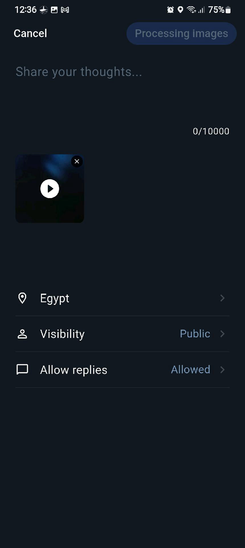
Released H Hassanein Makhlouf2026-09-09 09:42 UTC Catch Feed error I did a test posted 4 pictures, they appear in my app but not uploaded to server I also tried to post video, says processing images and nothing happened + ↳ Reply 28 122 views
Released H Hassanein Makhlouf2026-09-14 12:07 UTC Refinement: pinned release thread Greetings It would be helpful if you pin a release thread to the top and announce each release with change log One post per release And if possible make it read only to keep it clutter free cheers + ↳ Reply 1 51 views
Released H Hassanein Makhlouf2026-09-08 15:16 UTC Refinement: Text editor The current imbeded text editor is very primitive It doesn't allow curser movement, word selection, und and redo, copy paste ...etc There are many good FOSS text editors available, is it possible to consider a replacement Thanks in advance + ↳ Reply 13 86 views
Released H Hassanein Makhlouf2026-09-13 15:01 UTC Refinement: Deapth point font colour Greetings At the moment, the deapth is very difficult to read The most visible colour on blue background is yellow-orange. it is visible on both light and dark blue Perhaps you can test changing changing the colour to orange, use a sanserif font and increase the size on or 2 points and see how it looks ultimately the choice is yours Thanks again Cheers + ↳ Reply 8 64 views
In Progress p pine2026-09-13 00:36 UTC Add High-Resolution Satellite Imagery by Country Integrate high-resolution satellite or aerial imagery using different data sources based on country or region. + ↳ Reply 5 59 views
Released p pine2026-09-12 09:15 UTC Catch Feed: Support Swipe Navigation for Images When viewing multiple images in a Catch Feed post, users should be able to swipe left or right to switch between images. Currently, image navigation is not convenient enough. Adding horizontal swipe gestures would make image browsing more natural and consistent with common mobile app behavior. + ↳ Reply 1 48 views
Released H Hassanein Makhlouf2026-09-08 10:42 UTC Refinement: Saved notes Logic: when saving points, they are saved for different reasons, fishing spot, diving spot, wind/wave shelter ...etc It would be useful to add free form notes to describe the point ( date, time, type of fish, fishing techniques...etc) the notes can be added at the time of saving, and also edited or added from the information panel at the bottom when you select the point on the map I don't know how the kml file is structured, but if the notes can exprted, this would be a bonus Thanks + ↳ Reply 7 57 views
Normal Question H Hassanein Makhlouf2026-09-10 11:23 UTC Tweaks for future versions Some tweaks for future versions all low priority Ability to edit/delete my posts Ability to edit/delete reported hazard if I think of anything else I'll post in this thread Cheers + ↳ Reply 8 72 views
Released p pine2026-09-12 07:57 UTC Feedback Time Is Incorrect The reply time displayed on the Feedback screen is currently shown in UTC. It should be converted to the user's local time zone. + ↳ Reply 0 49 views
Released H Hassanein Makhlouf2026-09-08 10:32 UTC Refinement: Selective Export Currently export to file exporters all points and tracks In most real use I want to export specific point or rout to share or import in another app Adding selective export would be easier long press point or rout can add export to the context menu would be nice + ↳ Reply 5 44 views
Released H Hassanein Makhlouf2026-09-08 10:52 UTC Refinement: reports I did a quick test and reported a hypothetical hazard the reported point appears on the map long press the point opens information panel the point information is dimmed, very hard to read, and the whole panel automatically closes after about 3 seconds The panel should remain open until dismissed to give the user the time to read the information and interact Thanks + ↳ Reply 10 69 views
Released p pine2026-09-09 10:20 UTC The satellite layer was enabled accidentally Because the route editor temporarily replaced the shared map-layer metadata with its own reduced style metadata. The route editor intentionally has no satellite layer. After returning to the main map, Android no longer received an explicit visibility value for the main map’s satellite raster layer. Its native layer controller interpreted that missing value as “visible,” so the satellite tiles started loading even though the user had not enabled the layer. The fix keeps the main map’s metadata intact, always sends an explicit satellite visibility value, and reapplies layer visibility whenever the native map style is recreated. + ↳ Reply 0 47 views
Released p pine2026-09-09 09:52 UTC Merge Route Merge Routes Across Folders Fails An error occurs when attempting to merge routes stored in different folders. + ↳ Reply 0 45 views
Normal Question H Hassanein Makhlouf2026-09-08 08:52 UTC Thank you Thank you for the new version Everything works as it should The satellite layer is nice and loads relatively fast The kml/gpx exports and imports saved points All in all, great improvement Thank you again Have a lovely day + ↳ Reply 3 37 views

 SEA CHART /Community