Tweaks for future versions
Some tweaks for future versions
all low priority
Ability to edit/delete my posts
Ability to edit/delete reported hazard
if I think of anything else I'll post in this thread
Cheers
Thanks for the suggestions.
Just to clarify one design point: content that is created through SeaChart’s offline upload system is currently not designed to support editing after submission.
For example, when you report a hazard, the app first saves it locally and places it into an upload queue. It may then be uploaded to the server later when the network is available.
Supporting editing would introduce quite a few synchronization problems. For example:
The item may still be waiting in the local upload queue.
It may already have been uploaded, but the client may not yet have received or stored the server-side ID.
Editing an item that is still queued would require removing or updating the old queued upload and creating a new one.
If the local and server versions are temporarily out of sync, it can become difficult to reliably identify which server record should be updated.
Because of this, editing offline-uploaded content is something I’m going to leave out for now.
If you need to change something, the intended workflow is to delete the original item and create it again with the corrected information.
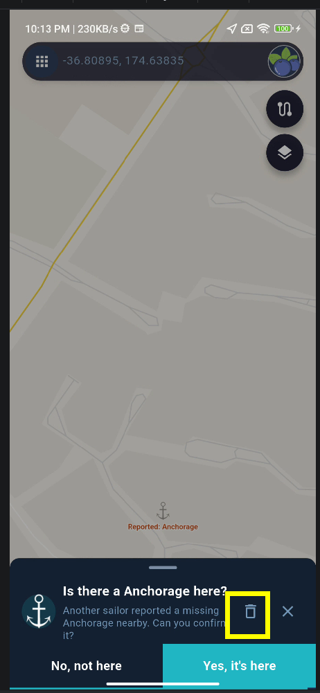
Regarding deletion, this is actually already supported. For example, you can delete a hazard that you reported yourself, as shown in the screenshot.
Please keep posting any other ideas you think of in this thread — even low-priority suggestions are useful for future planning.
Cheers!
I appreciate very much the time and effort you are putting in the development, and quite agree that you should work on the stable version.
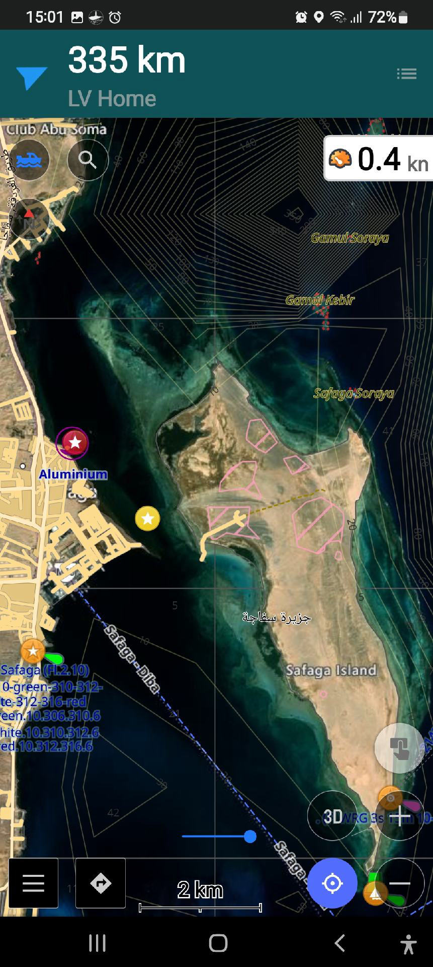
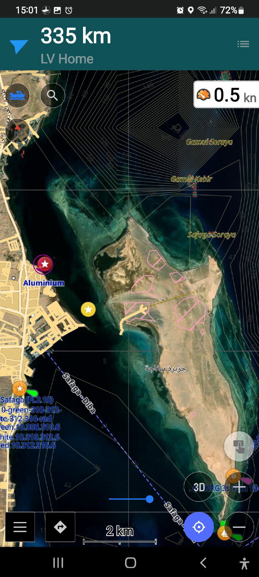
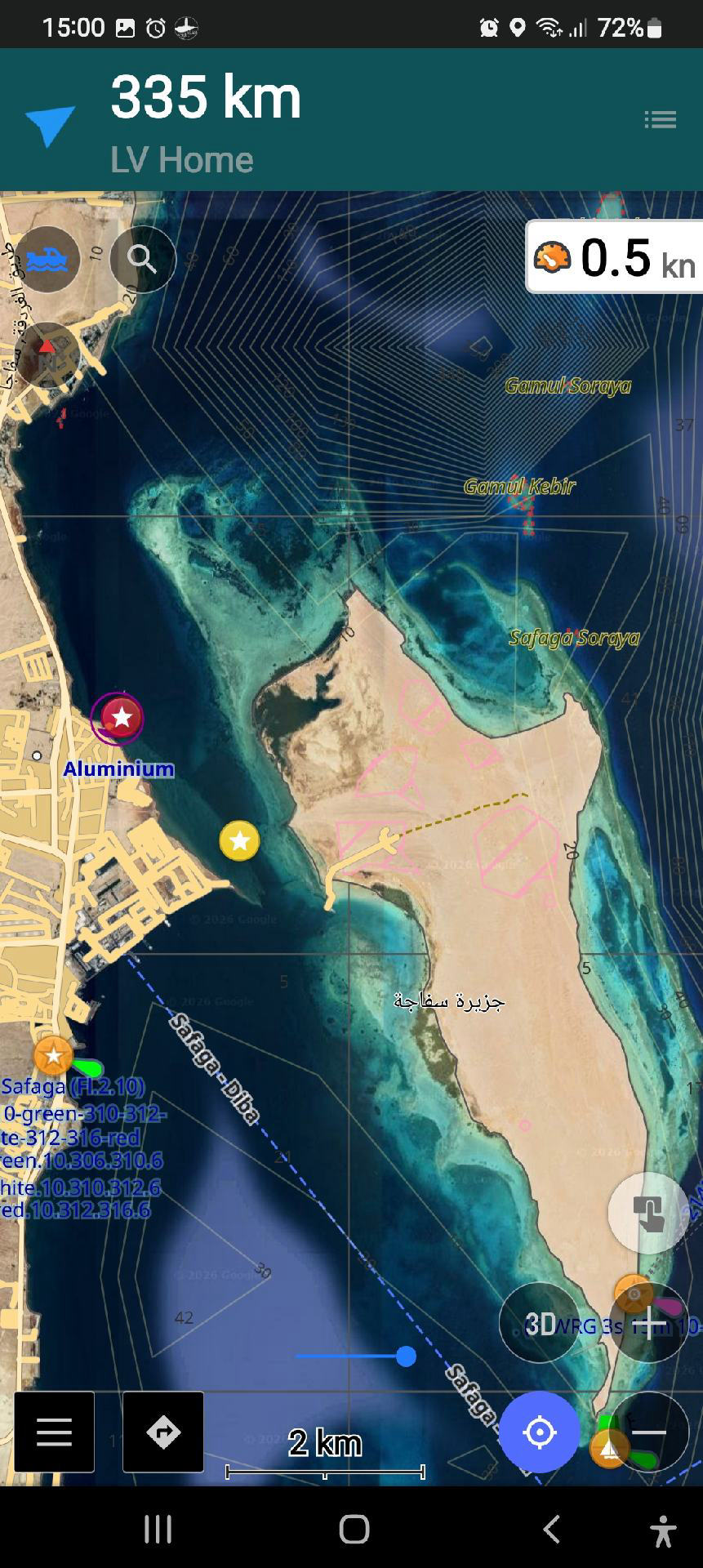
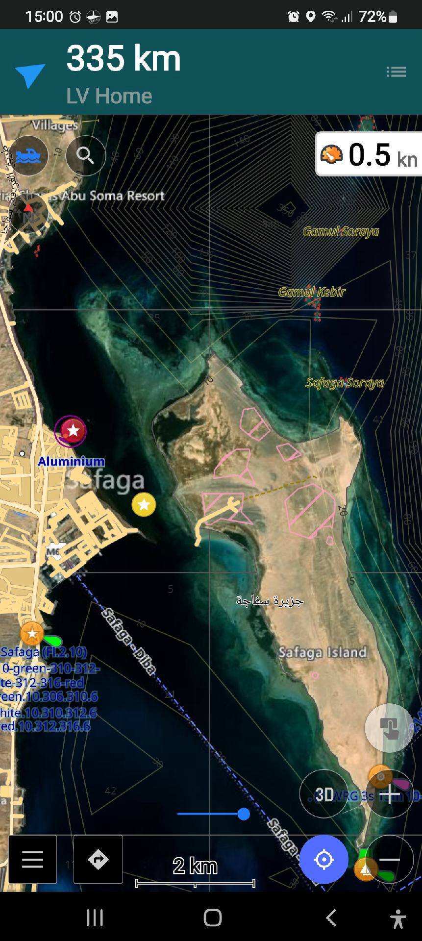
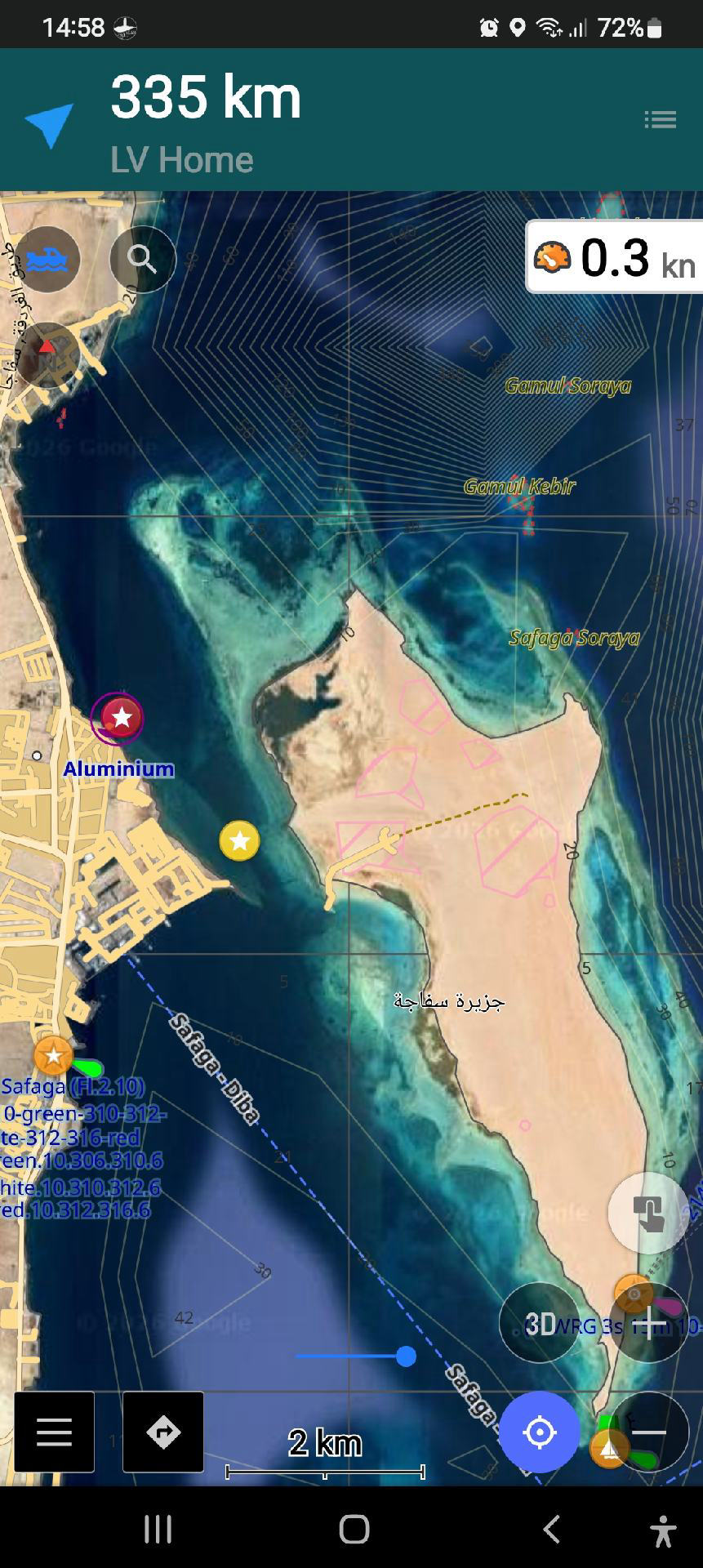
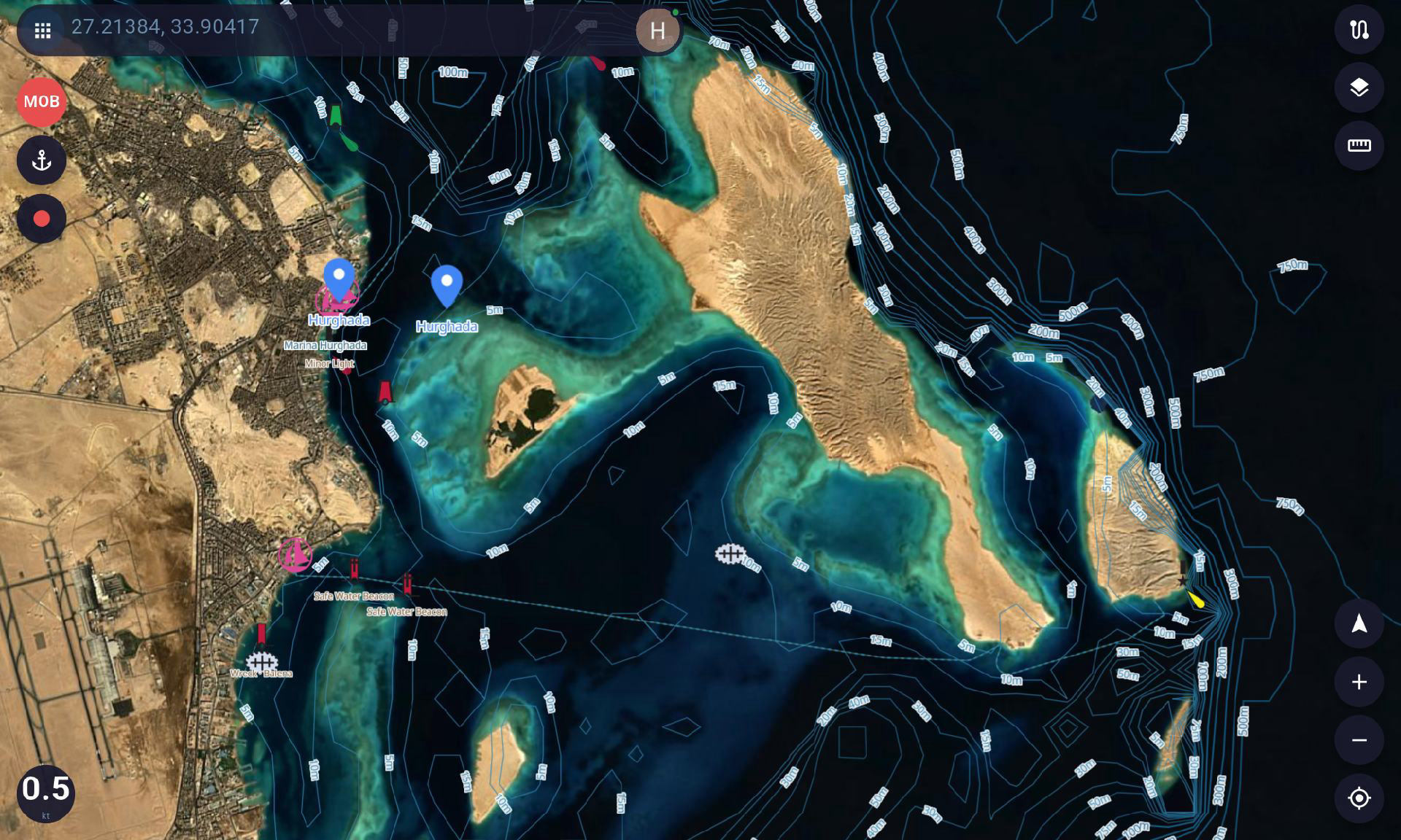
For the future, since coloured deapth band depends on high resolution bathymetry, which can be difficult, a visual alternative is to use high resolution satellite layer, most high resolution sat imagery can give visual indication of deapth. this can be online with selective ability to download for offline
I have some. mbtiles that I can share if you like
Thanks again
Thanks for the suggestion. MBTiles themselves are actually quite easy to obtain, but the difficult part is licensing and compliance.
A lot of satellite imagery and map data requires explicit permission before it can legally be included or distributed inside an app. One of my previous apps was actually removed because I used data without the proper authorization, so I’m much more careful about this now.
There is also another risk with some MBTiles sources. Some of them do not contain all of the map data locally and instead load tiles from an online server. Even if the MBTiles file is provided by the user, the tile server may still see the requests as coming from SeaChart. In that situation, SeaChart could still be considered responsible for using that service without permission.
So technically it is not difficult, but from a licensing and legal point of view I need to be very cautious. If I can find satellite imagery sources that clearly allow this kind of use and offline caching, I would definitely be interested in adding more options in the future.
 SEA CHART