Navigation questions
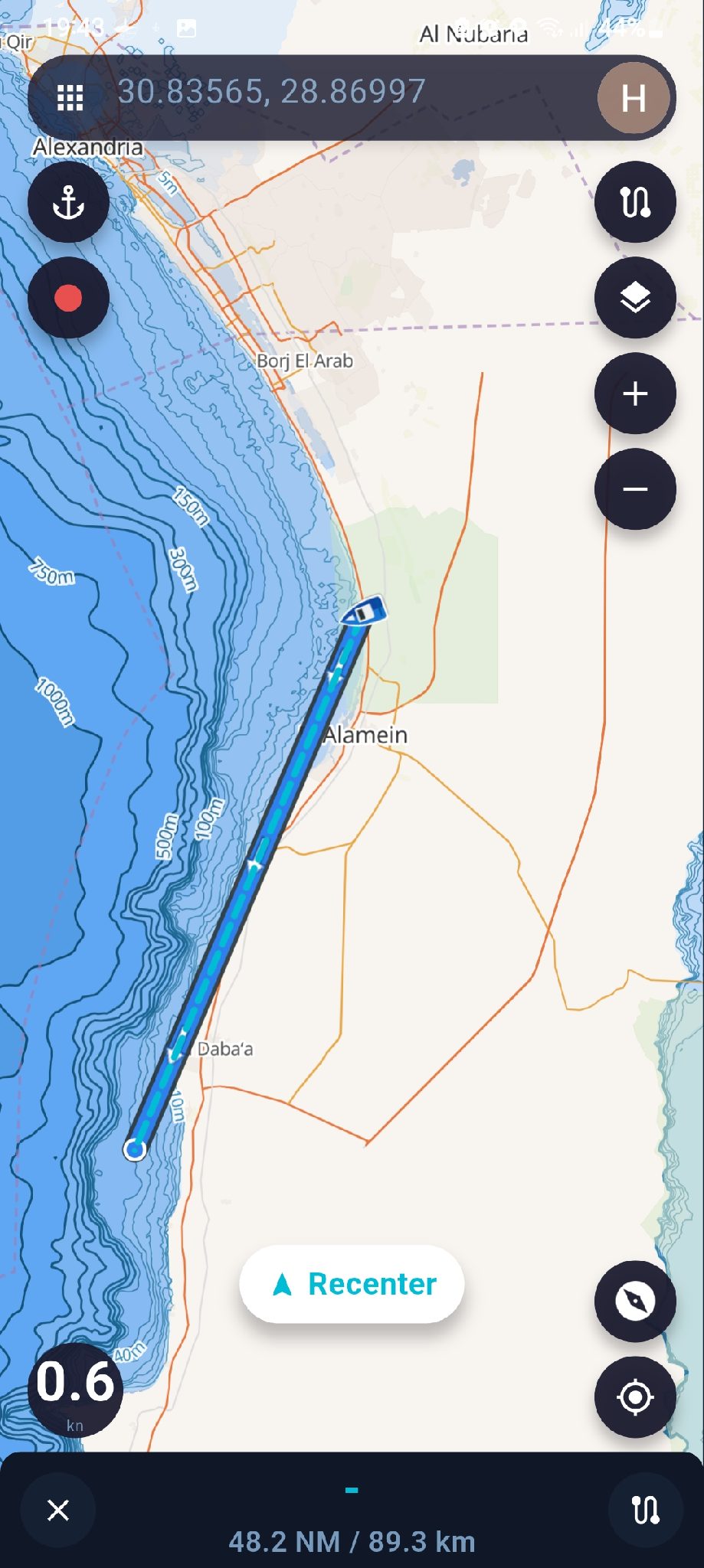
When I have a saved location and tap it opens the bottom panel, if I tap navigate, it creates a navigation line.
Does it take in account depth, obstacles, weather conditions...etc or is it just a straight line?
Thanks in advance
all the best
Thank you for testing this and for pointing it out.
At the moment, the **Navigate** function to a saved location only creates a **direct straight-line bearing from your current position to the selected location**. It does not automatically calculate a safe route based on water depth, land, obstacles, weather conditions, or other navigational hazards.
This is intentional because the chart and related data sources used by SeaChart clearly state that they **must not be relied upon for navigation or automatic route planning**. For this reason, SeaChart currently does not attempt to generate an automatic “safe route” around land or shallow water.
For actual route planning, I recommend creating or editing a route manually in the **Route** dialog first, adding the necessary waypoints to avoid land, shallow areas, or other hazards, and then starting navigation along that route.
Alternatively, you could record a route during a trip and then use that recorded route for navigation the next time you travel the same way.
Thank you again for the feedback.
planning a route and automatic route are different functions a d serve different needs
Automatic route is intended to quickly find a safe course between poit a and point b
Point a ( origin is changeable and dynamic)
like I'm fishing point a, no action, go to b
planning or recording route is no use in this scenario.
If automatic rout can atleast use deapth and land mass data, it can atleast give a useful starting course
I understand what you mean, and I agree that route planning and automatic routing serve different purposes.
However, under the terms of use for my current depth data source, I’m not allowed to use that depth data for navigation or automatic route calculation.
Once higher-resolution bathymetry data is added from sources that allow this kind of use, I’ll look at improving the navigation and automatic routing logic.
Please keep an eye on the “Add High-Resolution Bathymetry Data Sources by Region” ticket — that work will need to come first before I can properly improve automatic routing.
Thanks for the clarification
My thoughts.
As it stands, automatic route in straight line can be hazardous for unsuspecting user
Perhaps it is better to remove the feature until it is ready and working
also maybe keep it for the pro version
 SEA CHART